What’s inside?
Countries, financial institutions, and maritime insurers rely on the Automatic Identification System (AIS) to maintain awareness of vessel traffic so they can preserve proper use of the maritime corridors and reduce illicit activities that harm the global community. But AIS represents only a fraction of the total radio frequency (RF) energy generated by vessels.
AIS is an automated tracking system for maritime environments designed for vessels to self-report their identity and location. By international mandate, most vessels over 300 gross tons are required to have an AIS transponder. The requirement has also been extended by many countries to include a range of smaller vessels.
Although originally created to help prevent ship-to-ship collisions, AIS data has proven very useful in monitoring ship traffic. AIS receivers along the coastline read AIS transmissions and map vessels locations within 50 miles of the coast. Over the past decade, the emergence of satellites as a way to receive AIS transmissions has improved vessel tracking across the oceans.
The Trouble with AIS
While AIS is a valuable data source, its capabilities are inherently limited:
- Not Universal – Although the largest vessels include AIS, most smaller vessels do not have AIS transponders, so AIS is not comprehensive.
- Congestion Challenges – Receivers monitoring a large area are often overwhelmed by interference from too many AIS signals, preventing AIS geolocations.
- Technical Difficulties – Human error or equipment malfunction can make a ship seem to “disappear,” even if the AIS is still transmitting.
- Can Be Deactivated – Users can deactivate the equipment to deliberately “go dark” for the purpose of hiding their location or activities.
- Open to Manipulation – Users or third parties can misrepresent their identity or input invalid coordinates to “spoof” their location, making it appear the vessel is hundreds or thousands of miles away.
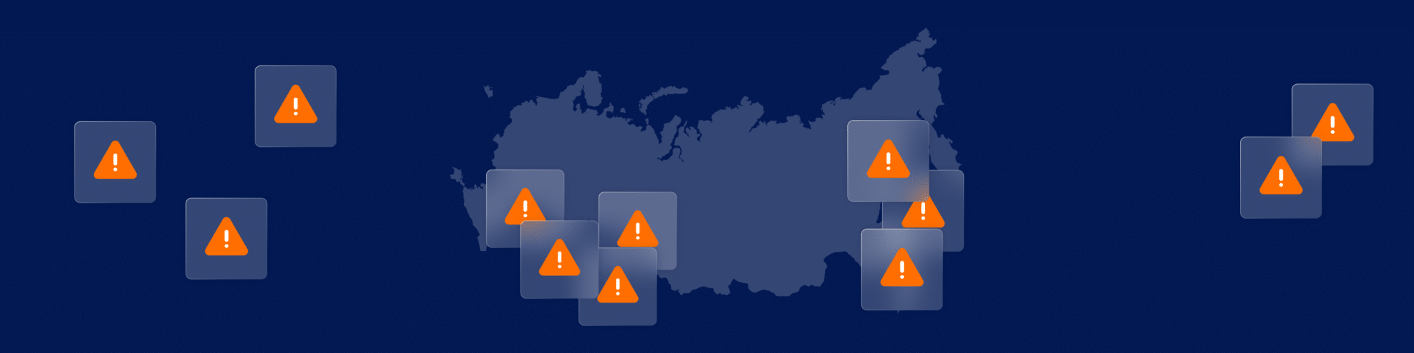
As a result, AIS has significant coverage risks. This lack of AIS continuity creates an opening for rogue vessels seeking to evade monitoring and pursue illicit activities such as smuggling or sanctions violations. For example, a monitoring agency might be able to determine it has lost track of a ship, but that offers no further insight about the activities of the vessel.
To expand maritime domain awareness, organizations must look beyond AIS. Not to replace AIS, but to provide additional tools designed to answer questions AIS can’t answer.
RF Data Analytics
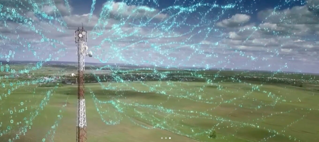
HawkEye 360 is an RF data analytics company able to address the AIS challenges outlined above. The company can validate the reported AIS location and continue tracking a vessel once it goes dark by geolocating other RF signals on the vessel. This is accomplished by using our first-of-its-kind commercial satellite constellation to identify, process, and geolocate a broad set of RF signals. The satellites fly in formation and follow a low-earth orbit that surveys global RF usage.
Our constellation is able to independently geolocate a diverse set of signals emitted by ships, such as marine radars, push-to-talk radios, satellite phones, emergency beacons, and AIS. This broader RF range expands visibility and offers a unique maritime dataset that addresses the limitations of AIS. For example, the improved analysis supports:
- Detecting AIS spoofing by cross-referencing a vessel’s self-reported AIS location against the HawkEye 360 calculated location to validate the two locations match.
- Identifying vessel locations by tracking other RF signatures when those vessels attempt to hide by deactivating their AIS transceiver.
- Discovering the locations of non-AIS equipped vessels that are emitting common maritime RF signals.
- Using RF signal profiles that describe the types of RF emissions from vessels of interest to facilitate vessel identification and future tracking.
HawkEye 360 uses proprietary algorithms, machine learning, and artificial intelligence to extract value from this specialized data. The resulting RF analytics solve challenging maritime problems, such as finding vessels exhibiting anomalous behavior.
Adam Bennett is Product Marketing Director at HawkEye 360
This article initially appeared in the ‘Sea: The Future’ conference magazine.